Drones with thermal cameras supported search and rescue after Colombia's August 10 earthquake
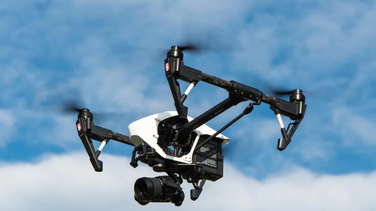
After the August 10 earthquake in Colombia, unmanned aircraft were used to survey unstable structures and feed information to the Unified Command Posts. Laura Pérez, a geological engineer and pilot at Valto Soluciones Aéreas, a firm that provided technical equipment in Cali during the first week, said drones with thermal cameras helped identify pets and that simultaneous flights were conducted in Cali: one assessed the exterior and an FPV unit inspected the interior of beams and columns.
In 40 seconds
- Drones with optical and thermal cameras and infrared sensors supported the survey of roofs, cracks, deformations and collapse zones.
- In Cali two aircraft flew at once: one assessed the exterior and an FPV unit entered through windows to check beams and columns.
- Thermal cameras were used to identify pets and analyze safe zones for controlled entry.
Read the full story at El Tiempo
IASummary generated by artificial intelligence from a story by El Tiempo. It may contain errors: the original source prevails.


Comments
Be respectful. Comments reported by several people are hidden until a moderator reviews them.
You do not need an account to read, only to comment. Sign in with a code sent to your email or with your Google account. We only show the name you choose, never your email.