AI identifies nearly 40,000 grounded icebergs along Antarctica's coast
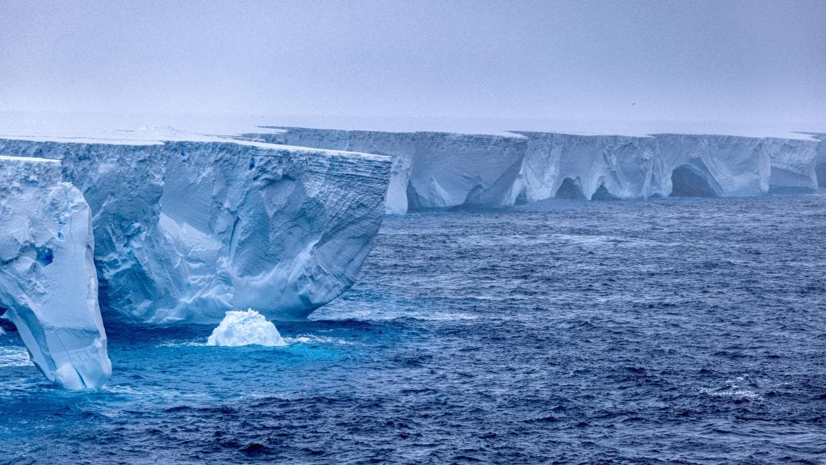
An international team led by Kaihong Jiao of the University of Tasmania developed an artificial intelligence system that identified 39,619 stationary icebergs along the Antarctic coastline, with an estimated combined area of 13,430 square kilometres. The study, published in Earth System Science Data, combined radar imagery from Sentinel-1 satellites with the ResUNet neural network and an algorithm comparing observations 12 days apart. Of the targets, 92.6% measure less than one square kilometre.
In 35 seconds
- The inventory records 39,619 stationary targets in Antarctica, with an estimated combined area of 13,430 km².
- The method combines Sentinel-1 radar with the ResUNet neural network and comparison of images 12 days apart.
- 92.6% of the blocks measure less than one km² and the system detects down to 0.016 km².
Read the full story at La Vanguardia
IASummary generated by artificial intelligence from a story by La Vanguardia. It may contain errors: the original source prevails.



Comments
Be respectful. Comments reported by several people are hidden until a moderator reviews them.
You do not need an account to read, only to comment. Sign in with a code sent to your email or with your Google account. We only show the name you choose, never your email.