SimRosario: a young man recreated Rosario with AI in the style of SimCity
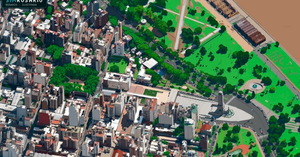
Agustín Abraham, a young man from Rosario, created SimRosario, a platform that turns real aerial photographs of the city into an illustrated map with the aesthetic of the SimCity video game. He started from oblique Google Maps images taken between 2012 and 2013 and trained AI models, with manual review, to illustrate 2,308 sectors. The result is an image of about 48,000 by 52,000 pixels, split into tiles so it can be browsed from a computer or phone.
In 40 seconds
- The project uses 45-degree aerial photographs from Google Maps captured over Rosario between 2012 and 2013.
- The creator trained a tool on an open image-editing system from Alibaba and used the Gemini 3.1 Flash Image model in early tests.
- Every result went through manual review; after three rounds, 38 pairs of photos and drawings defined the final style.
Read the full story at Rosario3
IASummary generated by artificial intelligence from a story by Rosario3. It may contain errors: the original source prevails.



Comments
Be respectful. Comments reported by several people are hidden until a moderator reviews them.
You do not need an account to read, only to comment. Sign in with a code sent to your email or with your Google account. We only show the name you choose, never your email.