FireSat, Google's satellite technology to detect wildfires, and Colombia's possible access
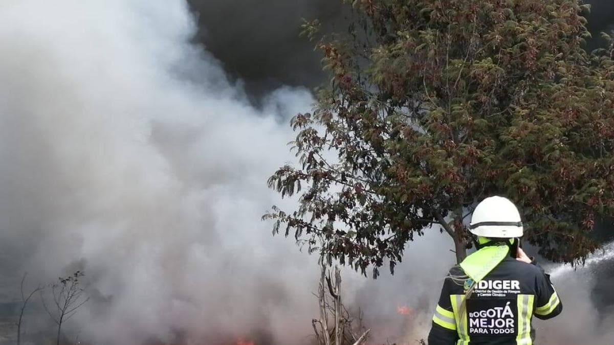
FireSat, a project initially driven by Google Research and now managed by the nonprofit Earth Fire Alliance, aims to monitor wildfires with a constellation of about 50 satellites able to identify car-sized fires within 10 to 20 minutes. Four satellites are already in orbit and Google develops the artificial intelligence tools that process the imagery. Colombia could access the data through the early access program for governments.
In 35 seconds
- FireSat plans about 50 satellites to detect car-sized fires within 10 to 20 minutes.
- Four satellites are in orbit today; four more are expected next year and the constellation would be completed in four years.
- Google keeps its role through AI tools that distinguish wildfires from agricultural burns, campfires or waste burning.
Read the full story at El Tiempo
IASummary generated by artificial intelligence from a story by El Tiempo. It may contain errors: the original source prevails.




Comments
Be respectful. Comments reported by several people are hidden until a moderator reviews them.
You do not need an account to read, only to comment. Sign in with a code sent to your email or with your Google account. We only show the name you choose, never your email.