Geospatial artificial intelligence: how it is changing territorial analysis in Colombia
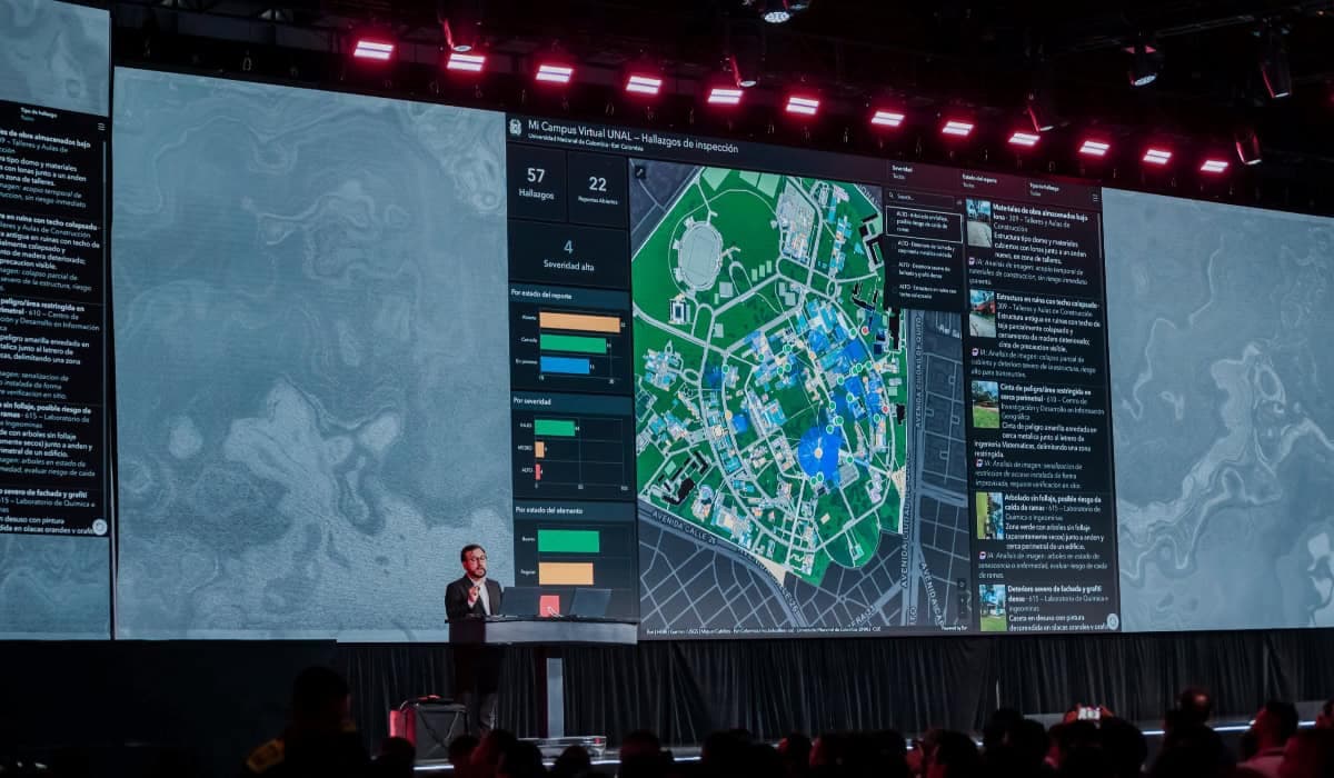
Esri explains how geospatial artificial intelligence is changing the way Colombia's territory is analyzed and details its use to map earthquake damage in the country, according to a report by Valora Analitik.
Read the full story at Valora Analitik
IASummary generated by artificial intelligence from a story by Valora Analitik. It may contain errors: the original source prevails.